COLLETTSVILLE, N.C. – North Carolina Governor Roy Cooper has declared a State of Emergency ahead of Hurricane Helene as North Carolina prepares for severe weather impacts that could threaten life and property across North Carolina through Saturday morning. Additionally, Caldwell County Board of Commissioners Chairman Randy Church declared a State of Emergency for Caldwell County effective at noon yesterday, in preparation for Tropical Storm Helene.
Dangerous and Deadly
The National Weather Service (NWS) has issued a Tropical Storm Warning and is urging citizens to heed warnings from weather and emergency preparedness officials. Rainfall amounts are predicted to overwhelm the region’s streams. Thousands of people are at risk in tiny towns like Collettsville along the Blue Ridge Escarpment – as well as cities and pockets of isolated communities along the ridges and valleys below.
The Warning extends from Appalachian counties in northeast Georgia into Southwest Virginia. Areas of the Piedmont of North Carolina are also expected to experience extreme conditions associated with the storm. It is expected to make landfall this evening along the Florida coast and then head north-northwest.
According to the NWS, “Significant, potentially catastrophic flash flooding and major mainstream river flooding is expected over portions of the western Carolina and northeast Georgia later today into early Friday, especially along the Blue Ridge escarpment. Wind gusts of 45 to 55 mph will be associated with Helene as the center of the storm tracks just west of the County Warning Area tonight into Friday morning. The combination of saturated soils and strong wind gusts will result in numerous downed trees, leading to numerous power outages. Numerous landslides may occur across the mountains, with large, damaging debris flows or slope failures possible. Brief isolated tornadoes are also possible.”
Caldwell’s Geography Will Aggravate Conditions
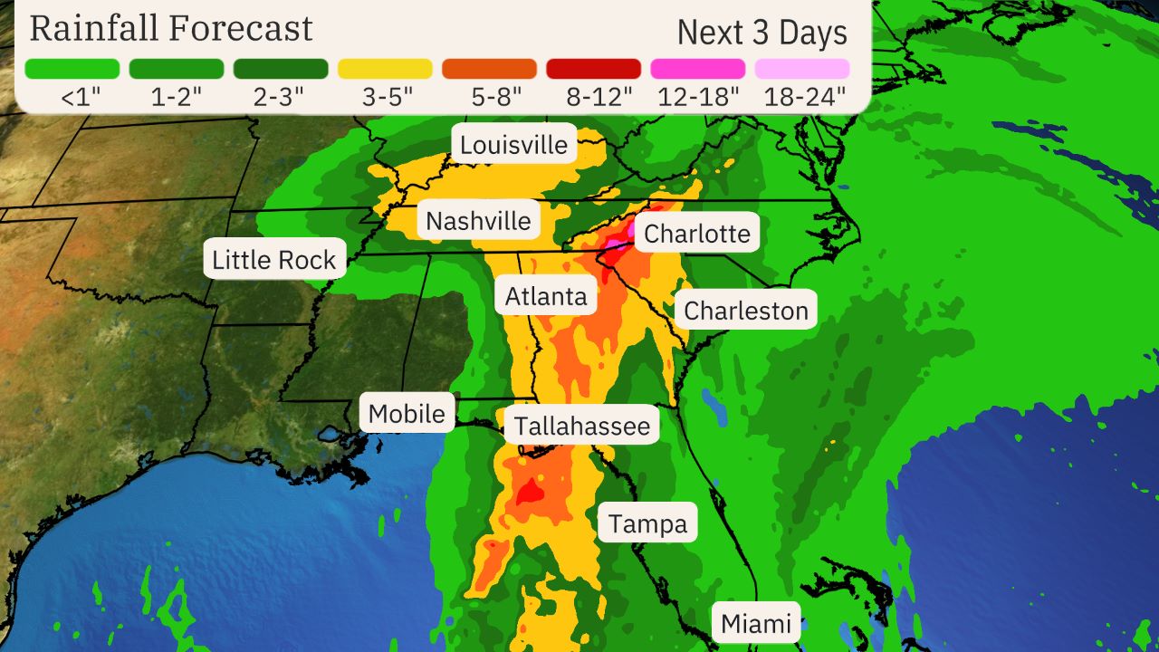
Ultimately, the NWS predicts the storm could drop in excess of six inches of rain over the next 48 hours or so in this region of Western North Carolina. Those people most vulnerable to the storm are those living in low-lying areas and those living along or nearby by the following streams and their tributaries: Wilson Creek, Johns River, Yadkin River, Catawba River, Kings Creek, Buffalo Creek, Gunpowder Creek, Lower Creek and others along the steep ridges of the Blue Ridge Escarpment. Runoff can be exceptionally fast and devastating along these streams, as the county’s elevation drops 5,100 feet, from just under 6,000 feet at Grandfather Mountain to 900 feet at the Catawba River. So, those living in areas along the steepest portions of the slopes are at the highest risk of flooding that can make escape impossible if one delays.
According to Cooper’s Declaration, “Helene is forecast to cause significant impacts including flash flooding, numerous landslides, damaging debris flows, slope failures across steep terrain, and riverine flooding across portions of western North Carolina and portions of central North Carolina. Flooding may occur in areas that do not typically flood. All North Carolinians should be weather aware and prepared. Tropical storm force winds are possible across western North Carolina late Thursday into Friday. With already saturated soils, trees could fall causing widespread power outages. There is a potential for tornadoes with this storm system. Tornadoes from tropical systems can quickly spin up with little warning.”

Prepare Now
The NWS warned, “Now is the time to complete all preparations to protect life and property in accordance with your emergency plan. Ensure you are in a safe location before the onset of strong winds or possible flooding.”
Cooper echoed the danger, declaring, “Helene threatens heavy rain, flash flooding, landslides, and damaging winds to the mountains and Piedmont areas of our state. Now is the time for North Carolinians to prepare, make sure emergency kits are up-to-date and pay attention to the weather alerts in your area.”
Read Cooper’s full Emergency Declaration here.
Caldwell County Emergency Services also reminds citizens not to call 911 for power outages. Residents should call their power provider.
Duke Energy 1-800-POWERON (769-3766)
Blue Ridge Energy 1-800-448-2383
Granite Falls Electric 828-396-3358
Rutherford Electric 1-800-228-9756
© Michael M. Barrick, 2024
