Editor’s note: In a previous article, Environmental Groups: Strip Mines Within the Monongahela Forest Proclamation Boundary are Big Polluters, you can learn more about the pollution caused by The South Fork Coal Co., LLC, owner of the Blue Knob Surface Mine and the Rocky Run Surface Mine to the people and ecology of the surrounding area. Also, The Pretty Ridge Surface Mine straddles ridges on the opposite end of Blue Knob, and a coal haul road runs from near the South Fork of the Cherry River to Laurel Creek.
This guest op-ed from a victim of the 2016 flood regarding this disaster – largely caused by catastrophic flooding because of Mountaintop Removal (MTR) – offers a unique, chilling and challenging outlook about the dangers facing the people in the way of these polluters.
By Dr. Bob Henry Baber
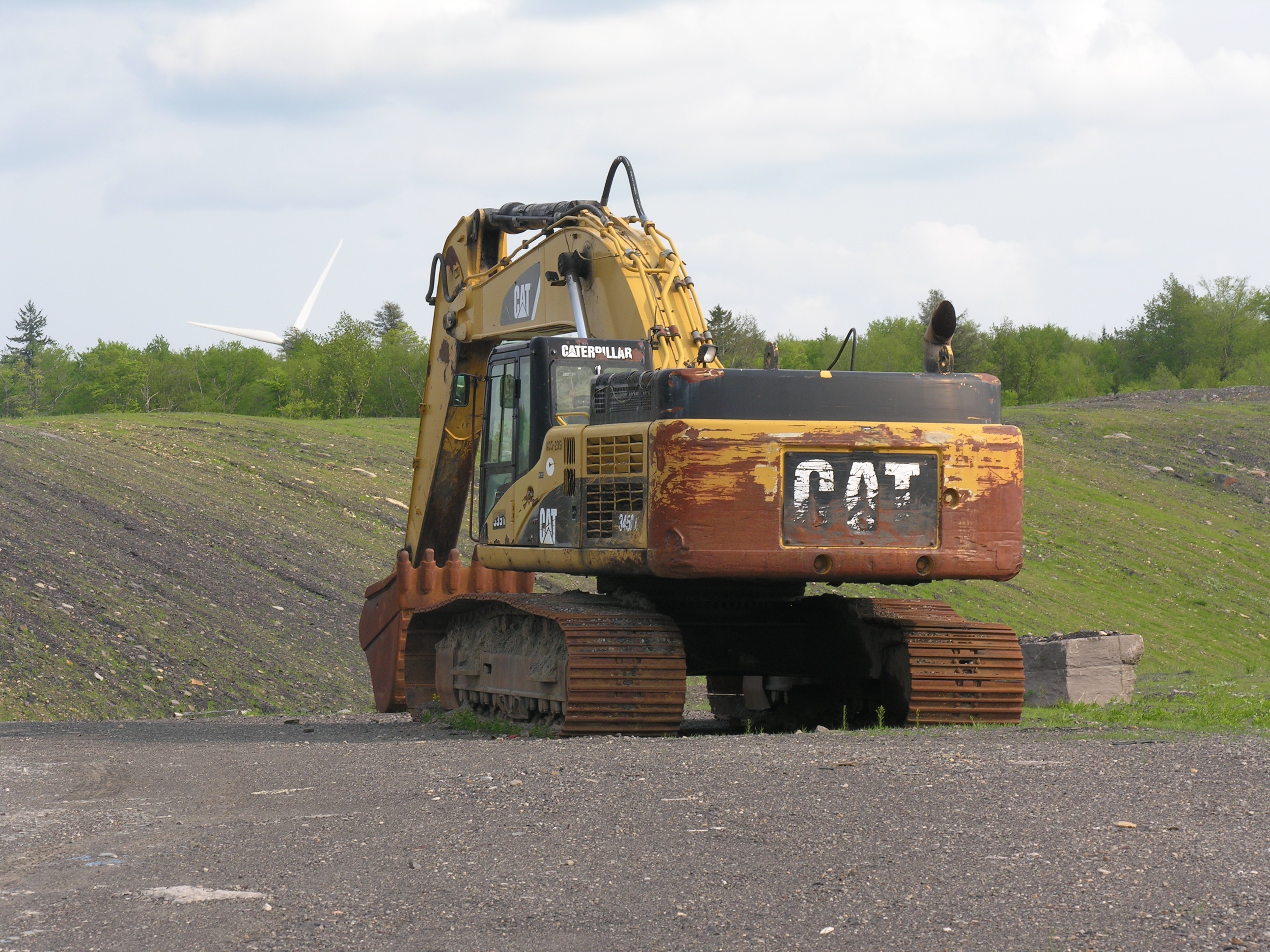
RICHWOOD, W.Va. – Despite numerous mining citations and legal violations, The South Fork Coal Co. continues to destroy thousands of pristine acres in and around the Monongahela National Forest Proclamation area. It continues to pollute the South Fork of the Cherry and to endanger the exquisitely colored rare Candy Darter trout.
Vulnerable People
But by far, the most serious consequences of strip mining in the Greenbrier County high country is the growing danger of flooding to the at-risk people of Richwood. The June 23, 2016 Thousand-Year-Flood devastated the town. Nursing home residents died in the aftermath of the destroyed facility and 100 jobs were permanently lost; two schools were destroyed and they have not yet been replaced; 100 homes, stores, streets, the water intake, and the sewer lines in the Cherry River were annihilated. For a half year, Richwood’s raw sewage flowed directly into the Cherry and on into Summersville Lake.
The costs – not including human suffering which continues to this day – easily exceeded $50 million. Per capita, it has been one of the most expensive events in FEMA history.
There is no doubt that the vast stripping in the watershed dramatically contributed to the disaster: yes, the North Fork of the Cherry – coming out of the forest – flooded, but the South Fork coming off desolate, unreclaimed land absolutely raged. How could it have been otherwise? It couldn’t.
We are now almost a decade later and the stripping and polluting continue unabated. The authorities will not act as required.
This….is….insanity.
It all started around 1945 when a man named Maust first stripped Coal and Blue knobs. It was ruin and run stripping; ring around the mountains. It its wake high walls and shale and acid ponds were left. But by today’s standards they were mere fingernail clips and nature did its best to heal the scars.
But the strippers had a toehold and in the 1980’s they returned – ostensibly to “reclaim” what Maust had left. It was a ruse to get more coal. Hardwood timber was bulldozed and buried, the plug on the self-cleansed lakes pulled, and the cuts to the mountains grew exponentially.
Peter Moran, the superintendent of the mines, proclaimed it would all be put back “better than it was.” He stated the topsoil scraped from the surface would be spread on the removed layer of “the cake” and trees would be planted and would thrive. Of course, neither happened.
Finger nail clips had morphed into outright amputation.
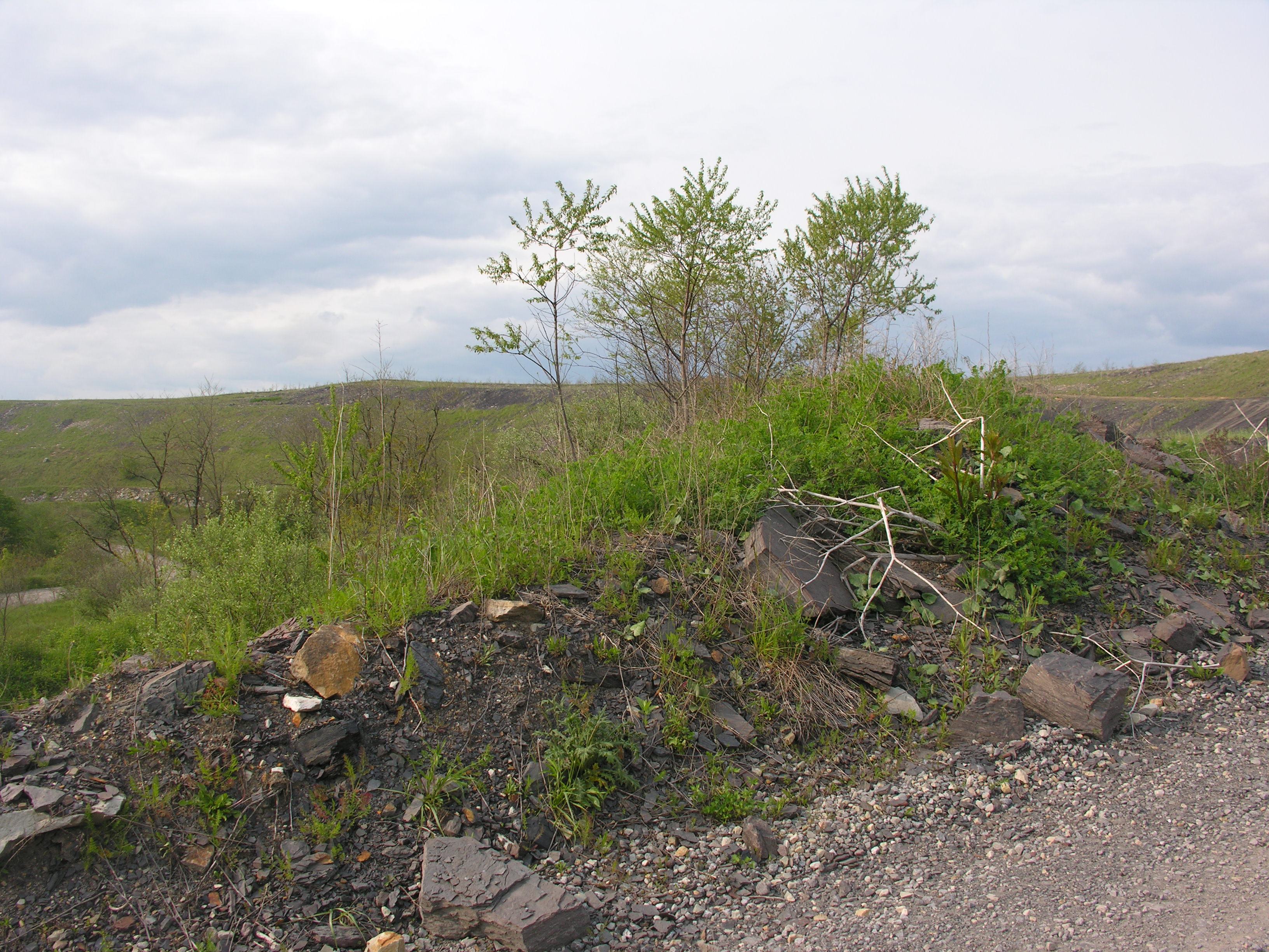
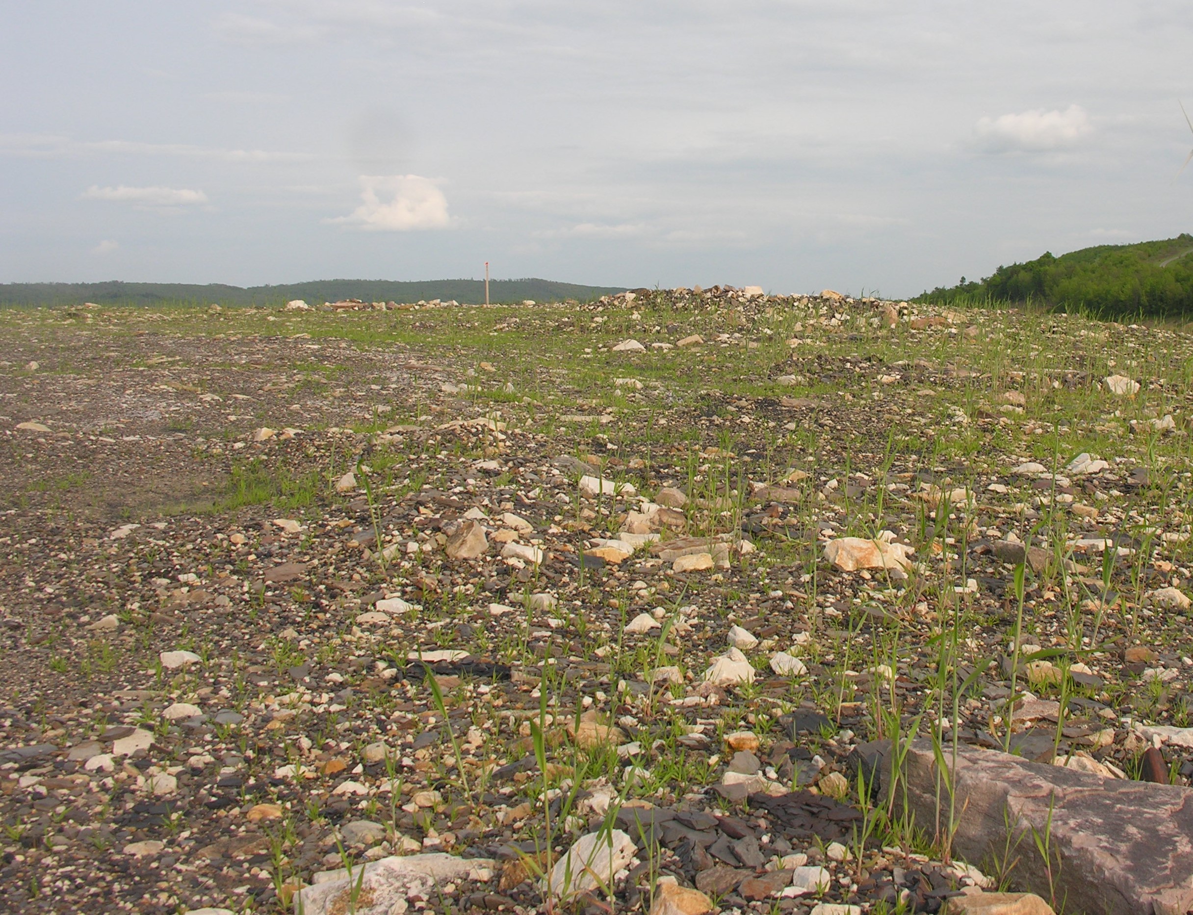
Let me tell you about what was lost. This land had huge Colorado-like boulders covered with lichens and green moist moss from the beginning of time. Soft to the touch it was. Cherry, Oak and Maple trees abounded. The air was scented with their presence. Clear headwaters silently seeped downward. This was National Geographic land. Photogenic and stunning.
Now…it is all gone.
Every.
Single.
Bit.
What’s left is smoothed over rubble and spindly grass, roads and pitiful tiers of scarred and sculptured mountains…turned into human mole hills: ugly and depressing to behold. And beneath that facade – the real danger of a decapitated watershed. And toxic water leaching into the rivers.
For the Candy Darter and the beautiful people of Richwood the risk of pollution and the next Thousand-Year-Flood loom ever greater with each passing day, each mine explosion, each gouge of the blade.
Truly, this….is….insanity.
© Dr. Bob Henry Baber, 2024. Dr. Baber is a ‘Long Time West Virginia Mountaineer.’ Feature photo from Ohio Valley Environmental Council archives.

Another excellent historical article. Merry Christmas to you and yours, Peace with every breathe. Theresa